


The content below is taken from the original ( 15 non-profit organizations making an impact with Google Maps Platform), to continue reading please visit the site. Remember to respect the Author & Copyright.
Editor’s note: Over the coming weeks, we’ll share some of our most inspirational customers, partners, and solutions from the past 15 years. Today’s post features our nonprofits community and how they’ve embraced Google Maps Platform to achieve their organizations’ goals.
Over the past fifteen years, we’ve been humbled to see how the non-profit community has embraced Google Maps Platform to achieve their organizations’ goals—from building stronger communities and feeding the hungry to helping citizens find ways to engage with nature and the outdoors. Today we’re featuring fifteen non-profit organizations who inspire us every day to continue building and improving our location-based services and solutions.
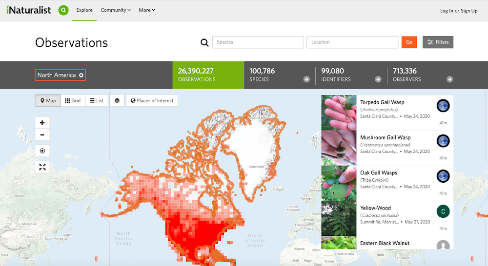
California Academy of Sciences
The California Academy of Sciences is using maps to help people discover plant and animal life from around the world on iNaturalist.org. To help people share and learn about nature across the globe, they created multi-layered maps that are both educational for consumers and useful for researchers with Google Maps Platform.
World Walking
World Walking provides a way for people to get outside to engage in fitness and reap the benefits of a healthier, active lifestyle. They provide a website where users can search and select walks all over the world, as well as mobile applications to access walks on the go.
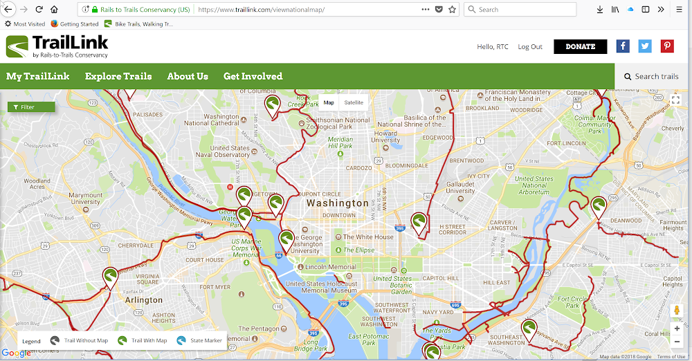
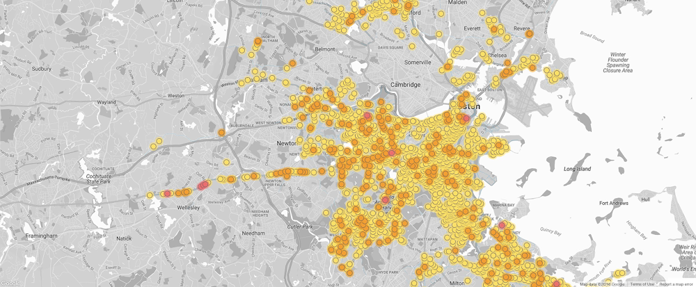
Rails-to-Trails Conservancy
Rails-to-Trails Conservancy is dedicated to creating a nationwide network of trails from former rail lines and connecting corridors to build healthier places for healthier people. In 2006 Rails to Trails Conservancy published their interactive maps on their website, TrailLink.com leveraging Google Maps Platform. TrailLink is Rails-to-Trails Conservancy’s trail-finder website and companion TrailLink mobile apps. Since that time they’ve mapped more than 36,000 miles of multi use trails.

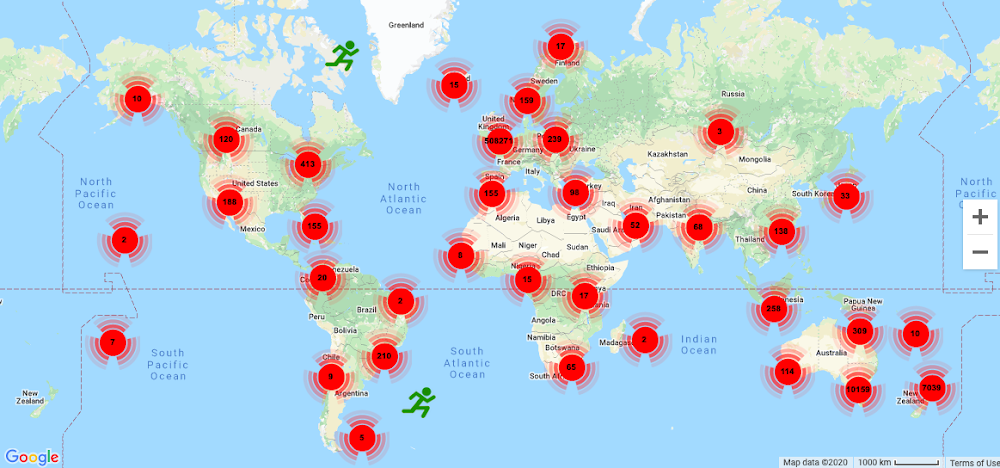
Falling Fruit
Falling Fruit is a nonprofit that helps city dwellers harvest for food in their neighborhoods. Falling Fruit’s global map marks locations in 111 countries, and its website and mobile apps have been accessed by nearly 1 million people.
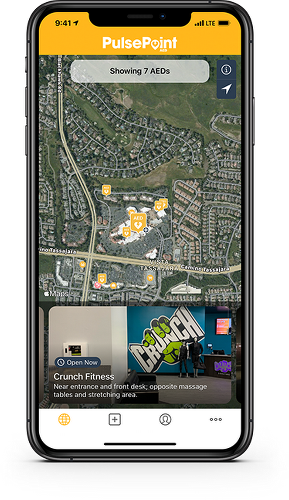
PulsePoint
To empower CPR-trained citizens to respond to local emergencies, the PulsePoint Foundation developed a mobile app based on Google Maps Platform to help communities reduce deaths from sudden cardiac arrest.
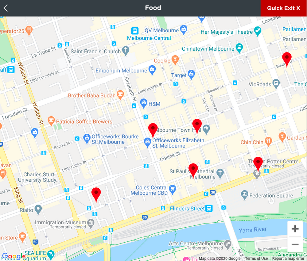
Infoxchange
Infoxchange created Ask Izzy, a free, mobile-first directory that helps homeless Australians find location-based services. The website gives homeless individuals information about over 350,000 vital nearby services such as shelter, food, needle exchanges, employment resources, and more
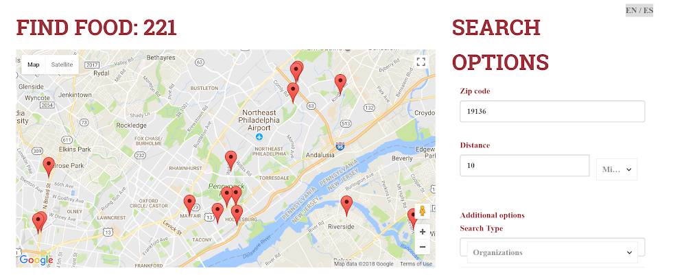
WhyHunger
WhyHunger helps communities develop sustainable solutions for ending hunger and poverty. Their Find Food map displays food resources based on a zip code and the results include phone numbers, addresses, and the type of programs available.
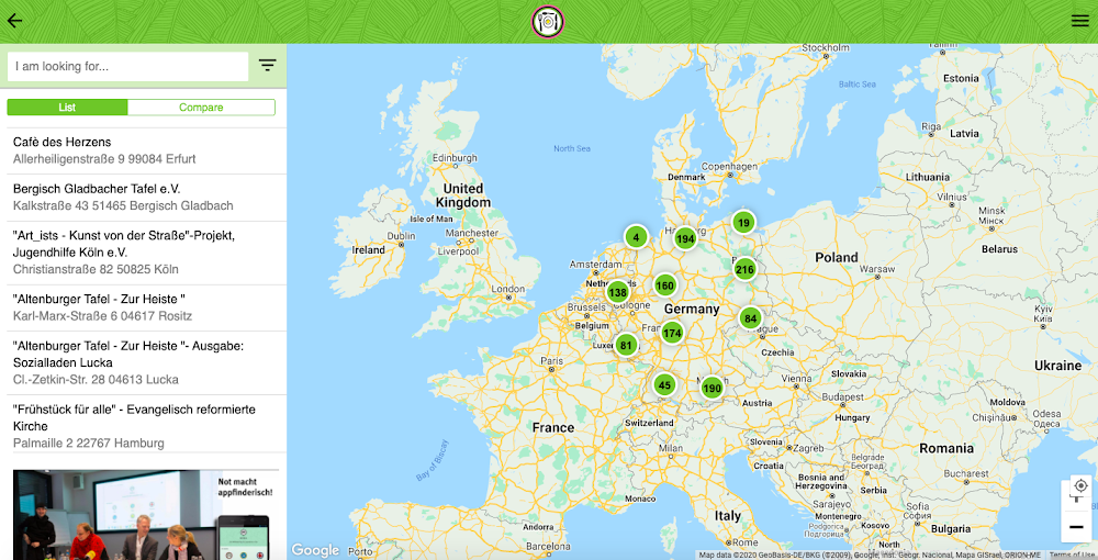
KARUNA
KARUNA, a Berlin-based aid organization, created MOKLI—an online resource to provide access to critical resources to at-risk children and young people who live on the street. Young people who might be fearful of contacting parents, teachers or authorities are comfortable using Google Maps—a tool that’s familiar to them—to seek assistance
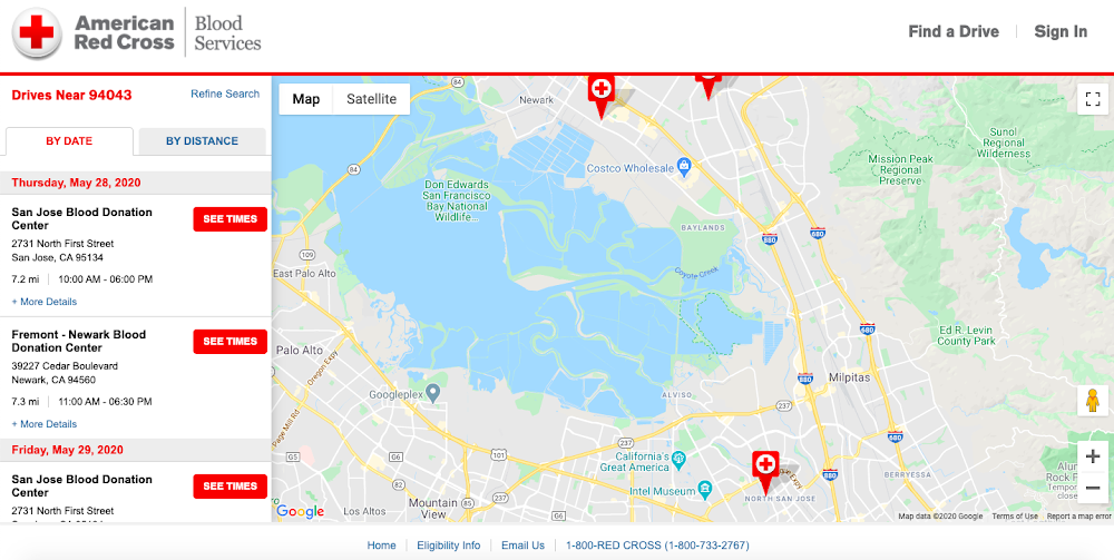
The American Red Cross
The American Red Cross provides an easy way for people to find locations to give blood within their Find a Blood Drive locator.
GoodSAM
GoodSAM connects trained first aid professionals to patients in cardiac arrest to support the provision of early CPR in the minutes before an ambulance arrival—saving lives around the world. Their community of Responders have mapped thousands of Automated External Defibrillators (AEDs) creating the world’s largest defibrillator registry.
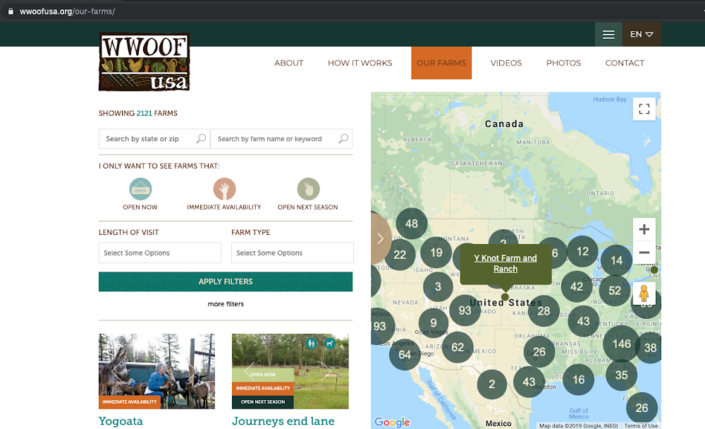
Worldwide Opportunities on Organic Farms
Worldwide Opportunities on Organic Farms (WWOOF) uses Google Maps Platform to build communities that care about ecological farming. Their map-based website helps travelers find and work on organic farms.
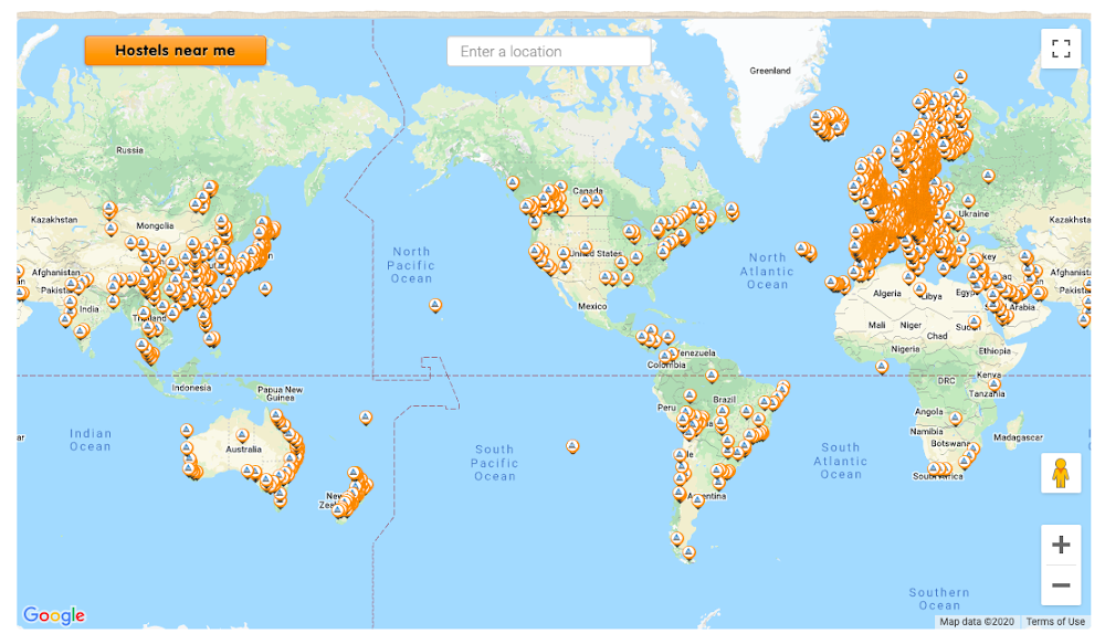
Hosteling International
Hosteling International is a nonprofit which is a federation of over 4,000 hostels in more than 80 countries. Their map-based website helps travelers easily find places to stay that are designed for people like them, who are young, curious and want to be in a welcoming environment filled with international travelers
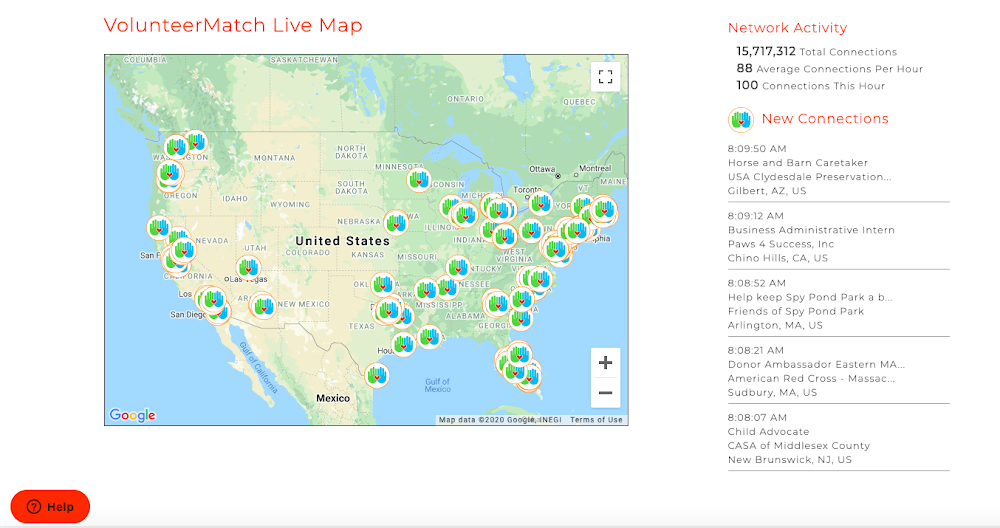
VolunteerMatch
VolunteerMatch connects people with good causes so they can make an impact in their local communities. They provide a “Live View,” on their site which shows all the activity on their network over the past hour. Icons on the map show the connections made between volunteers and organizations.

The California Native Plant Society
The California Native Plant Society created Calscape to help Californians restore nature and save water by showing people which plants are really native to any location in the state, helping them figure out which ones they want, and where to buy them and how to grow them.
Environmental Defense Fund
By making information about methane leaks transparent, the Environmental Defense Fund (EDF) is providing a unique way for utilities, regulators and the public to work together and invest in infrastructure improvements and repairs.
We are impressed at the impact these organizations have been able to make within their local communities and world-wide over the past 15 years with Google Maps Platform. Learn more about the Google for Nonprofits program and how to apply for Google Maps Platform credits.
For more information on Google Maps Platform, visit our website.